Three Gorges Reservoir Boosts Rock Safety with Millimeter-Level BeiDou Monitoring
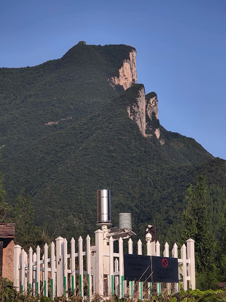
Chongqing - At the Qutang Gorge Dangerous Rock Observatory in Fengjie County, Chongqing, a compact station with BeiDou radar receivers, direct wave antennas, and solar panels has been set up recently, all within a 1-square-meter area.

The Qutang Gorge Scenic Area Dangerous Rock Observatory. (Photo/Xinhua News)
"This observatory can achieve millimeter-level accuracy in displacement monitoring, and any change of more than five millimeters is under control," stated Chen Zhijun, senior engineer of the Chongqing Meteorological Research Institute.
Qutang Gorge, the shortest and most majestic of the Three Gorges, winds five miles from Baidi City in Fengjie County to Daxi Town in Wushan County.

Grand view of Qutang Gorge. (Photo/Qiao Xuezhu)
This observatory plays a crucial role in monitoring the largest dangerous rock in Fengjie, with a total volume of 1,406,000 cubic meters. The instability of this massive rock poses significant threats to key areas such as the Qutang Gorge Scenic Area, Baidi City Scenic Area, Fengjie Port, and several large terminals.
"The new BeiDou deformation monitoring radar, implemented this year, enables three-dimensional monitoring of the dangerous rock," said Chen.
"We have divided the 300,000 square meters of monitoring area into countless 5 meters by 12 meters samples. Once any sample shows displacement or deformation, the BeiDou Navigation Satellite System can capture the change in seconds, serving as a late warning reference," Chen explained.
The Dangerous Rock Observatory in Qutang Gorge. (Photo/Chongqing Meteorological Service)
The Chongqing Meteorological Service integrates monitoring data into four digital systems, including the Tianshu Intelligent Detection and Tianzi Intelligent Forecasting systems. These systems provide real-time monitoring, early warnings, and risk alerts for dangerous rocks, disseminated through various channels like related departments, WeChat, and cell phone texts, ensuring timely information for those near hazardous areas.
"Fengjie, situated in the highly disaster-prone hinterland of the Three Gorges Reservoir area, has over 1,500 geologic hazard sites, the highest in Chongqing. Heavy, intense precipitation and overlapping fallout zones frequently trigger secondary disasters such as rock collapses, landslides, and mudslides," said Zuo Yanli, director of the Fengjie County Meteorological Bureau.
Currently, Fengjie County operates seven meteorological observation stations for dangerous rocks, covering 15 major geologic disaster points that threaten the Yangtze River waterway. These stations have advanced meteorological monitoring facilities, including solar panels, calibrated rain gauges, collectors, and sensors.
Yang Qiang, deputy director of the Fengjie County Meteorological Bureau, stated, "The meteorological observatory allows real-time access to meteorological data near the dangerous rock point, such as rainfall, temperature, soil moisture, wind speed, etc., which is an important reference for evaluating the danger of dangerous rock ground hazards."
On September 27 last year, a large-scale collapse at Wuzhi Peak in Chang'an Township was successfully averted due to timely warnings and the emergency evacuation of five households comprising 24 people.
"This is a typical case of successfully avoiding a large-scale mountain collapse according to the signs of tiny falling rock cracks. The reason why it can be found and prevented and controlled in time is the refined meteorological forecasting and warning played a key supporting role," Zuo Yanli emphasized.
Fengjie County plans to construct 23 new meteorological observation stations to enhance monitoring and early warning capabilities in 2024. Once completed, the county will achieve full coverage of meteorological monitoring for 31 high-risk dangerous rock hazard points, further leveraging advanced technology to manage geohazards effectively.

Sanxia Zhidian Scenic Area is the highest point in the Qutang Gorge. (Photo/Qiao Xuezhu)
(He Le, as an intern, also contributed to this article)
 Related Stories